
The archive was established in 1985 and contains information on Calstock Parish. It contains records dating back to the fourteenth century and up to the present day.
We have copies of the census records for the parish from 1841-1901, mine site plans, old maps of the parish including the 1839 tithe map and the 1815 Davis survey map. Also in the archive are manorial landholding records, many of which have been translated from the original medieval latin and early silver mining records for Bere Alston. Virtually all of the information is in the form of written records.
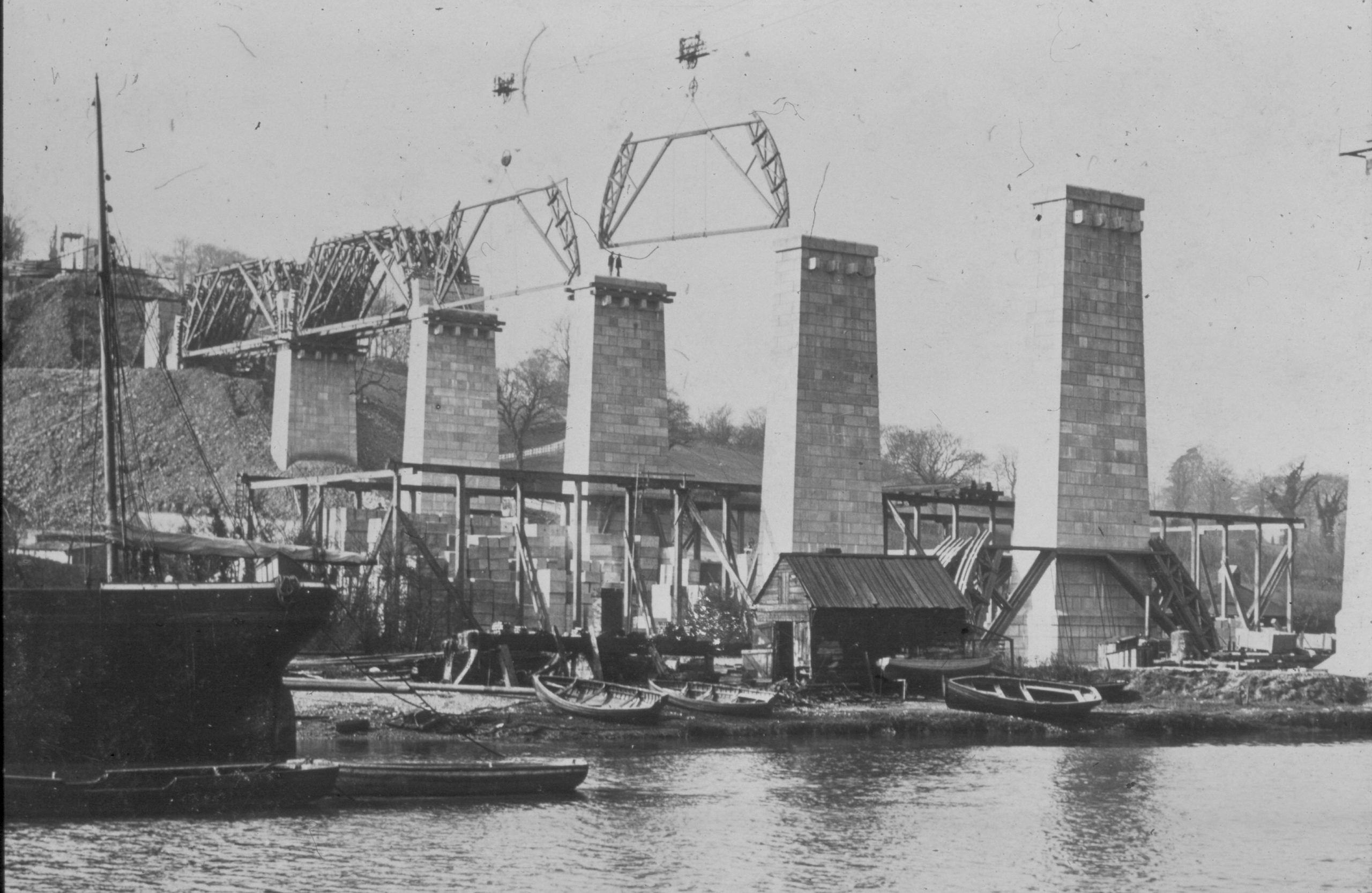
There are approximately 150 oral history tapes recorded in the 1980s, most of which have been transcribed and which are in the process of being put onto CD. We are also adding to our oral history collection. There are approximately 15,000 digital images of places and people in the parish covering the last 110 years including pictures taken of the building of Calstock viaduct at the beginning of the 20th century.
We received a grant in March 2010 to purchase equipment and software to commence a GIS project covering Calstock Parish. We are recruiting volunteers to undertake fieldwork and enter data. One part of the project aims to carry out surveys of the historical features in the landscape. Initially the project will be looking at ancient mining sites in the Calstock area which were worked by miners before the 19th century mining boom. Another part of the project will be to take written information, such as field names and crops grown, from the written records at the archive and add this to the computer mapping system